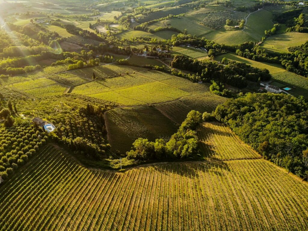
An aerial map can help a business see a site from a useful perspective: where materials are stored, how a project has changed, or which field area deserves a closer look. AI may help label features or flag differences. The result still needs a clear purpose and a way to check whether it is accurate enough.
Before hiring a provider or buying equipment, ask what decision the map should support. A dated overview for a project meeting and a measurement used in a contract have different requirements. A detailed image alone does not prove either one has been met.
Separate photography, mapping, and interpretation
Aerial photography records a view. Mapping adds a defined spatial relationship so features can be located or measured. Interpretation assigns meaning, such as identifying an object or flagging a possible change. AI can support interpretation without establishing the accuracy of the underlying map.
USGS explains structure-from-motion processing, which uses matching features across photographs to construct three-dimensional information. This is a real mapping method, not a reason to describe every automated mapping step as generative AI. The same USGS resource emphasizes documentation, calibration, and quality assurance so users can judge fitness for a purpose.
Ask the supplier which measurements its sensors collect, what the processing software computes, and what the AI estimates. Keep those layers identifiable. A suspected problem should remain a flagged observation until someone qualified checks it.
Define a deliverable you can evaluate
For a fictional example, a small landscape contractor wants to compare the location of material piles before and after a delivery. A dated site overview with consistent labels may help coordinate work. It does not automatically establish an exact quantity for payment, a legal boundary, or the composition of a pile.
Write down the site area, intended use, update frequency, required file format, and who will view the result. If dimensions or quantities matter, agree the required accuracy and how it will be checked before the flight. Ask for a sample deliverable rather than relying on a promotional video.
Include exclusions: obscured areas, unavailable access, weather delays, and anything the sensor cannot establish. The best proposal is specific about what the client receives and what remains uncertain.
Check accuracy independently of image detail
Sharp-looking imagery and accurate positioning are different properties. Ask how the map is located, which reference measurements were used, and whether independent checks were kept separate from the information used to build the model.
The USGS aerial imaging and mapping program describes using ground control and comparing results with independent measurements. Its project-specific performance should not be assumed for an unrelated commercial flight. Ask your provider for evidence from your deliverable.
For repeated maps, check whether the dates, coordinate system, methods, and conditions support the comparison. An apparent difference may need investigation before it is treated as a real change. If AI labels objects, ask how false detections and missed objects are checked on the kinds of scenes you need.
A flight credential is not a surveying qualification
In the United States, the FAA’s commercial-operator information describes the Part 107 route for qualifying small-drone work, including pilot and registration requirements. The operator must also assess the rules and any authorizations that apply to the actual flight. AI route planning does not remove those responsibilities.
Ask who is the responsible remote pilot, how airspace and operating restrictions will be checked, and how the work will be postponed if conditions are unsuitable. Confirm site access, takeoff and landing permissions, and applicable local requirements. Outside the United States, start with the relevant aviation authority.
Separately, consult an appropriately licensed surveyor or other qualified professional when boundaries, formal engineering measurements, or regulated survey work are involved. A pilot credential does not certify a map’s accuracy or authorize every professional service. Do not substitute an AI-drawn boundary for an established property survey.
Make the pilot project useful and proportionate
Commission one limited deliverable and check whether it answers the original question. Include processing, interpretation, repeat flights, storage, and staff review in the cost. Compare the result with an existing map, ground photographs, or another appropriate method rather than assuming a drone is always the cheapest option.
Agree who owns the files, who can access them, and whether the provider uses imagery to train other systems. Minimize unnecessary capture of neighboring property and people. Keep dates, limitations, and verification notes with the exported map.
A useful map makes a decision clearer and shows the limits of its evidence. AI can help organize that evidence; qualified people remain responsible for the flight, the interpretation, and any consequential decision made from it.
Related reading: what makes an AI drone service useful.
Featured photograph: Bernd 📷 Dittrich via Unsplash. Illustrative aerial landscape, not a measured map or verified AI analysis.
Updated September 26, 2026. This AI-assisted article draws on the linked sources. Hypothetical examples are labeled as illustrative. It is for general information; see our disclaimer.