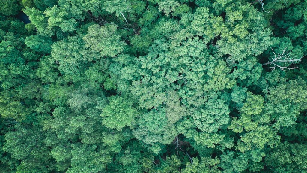
A drone can show whether a hillside has trees. Deciding how much extra carbon a project stores, and whether that benefit qualifies for a carbon credit, takes a longer chain of evidence. AI can help process observations along that chain. It cannot turn an attractive forest map into a verified climate claim by itself.
This distinction matters whether you are considering a small offset purchase, reading a company’s environmental claims, or exploring work with conservation organizations. Ask what was measured, what was estimated, and who checked the result.
From a forest image to a carbon estimate
Cameras record visible features. Laser scanning, known as lidar, measures aspects of three-dimensional structure. Models can use those observations, alongside field measurements, to estimate biomass: the amount of living material. Translating biomass into carbon storage requires further assumptions. The result has uncertainty, even when the map looks precise.
A useful scientific example is NASA’s GEDI aboveground biomass dataset. Its documented estimates connect laser measurements with field-plot biomass estimates and include prediction errors and quality flags. GEDI is a space-based instrument, not a drone service; the example shows why an estimate should come with a method and uncertainty.
AI can help identify patterns across many observations, but a model trained on one type of forest needs evidence that it works for another. Ask whether its accuracy was checked against independent measurements in conditions like the project being advertised. More decimal places do not answer that question.
Stored carbon and credited climate benefit are different quantities
A forest may already contain substantial carbon. A crediting project must explain the additional benefit of its activity compared with an assessed situation without that activity. That comparison is more demanding than counting trees.
The Integrity Council’s Core Carbon Principles identify several tests of credit quality: additionality, durable benefits or measures to address reversals, robust quantification, independent verification, and avoiding double counting. They also cover governance and environmental and social safeguards. Technology supplies evidence for parts of this assessment; it does not settle all of it.
For a tree-planting proposal, useful questions include whether the trees would have been planted anyway, how survival is monitored, and what happens if fire or land-use change reverses the claimed benefit. A project boundary also deserves scrutiny: moving a damaging activity elsewhere can undermine the benefit credited inside it.
What verification actually involves
Programs have specific rules rather than one universal drone certification. Under Verra’s VCS project process, a developer selects an applicable methodology and prepares project documentation. Independent validation and verification bodies assess the project and monitored results. Verra reviews relevant submissions before credits can be issued. A drone contractor’s report is therefore one possible input, not the whole approval process.
Verra explains that a Verified Carbon Unit represents one tonne of carbon-dioxide-equivalent reduction or removal under its program. Registry records track credits and their retirement. Buying support for future planting is not automatically the same transaction as retiring an already issued credit.
A simple way to read a sales claim
Consider this illustrative statement: “Our AI found more tree cover this year, so your purchase cancels your emissions.” The first part might describe an observation. The second requires evidence about the quantity, baseline, verification, credit ownership, retirement, and the particular emissions claim. The image alone does not bridge those gaps.
Before relying on an offer, request a project identifier and registry link, the applicable methodology, the monitoring period, and the latest verification report. Check that those documents describe the same project and credit vintage as the offer. If the seller promises retirement on your behalf, ask what record you will receive.
Read the description of uncertainties and unresolved issues, too. A clearly explained limitation is more useful than an unexplained “AI verified” badge. If the documents are technical, AI can help produce questions from them, but compare its answers with the original passages and page references.
Where this technology has real value
The useful opportunity is better evidence: repeat observations, traceable measurements, and clearer reporting for people responsible for projects. Anyone considering a monitoring business should establish the accepted methodology and required expertise before buying equipment or promising certifiable results.
For a reader, the practical lesson is to follow the evidence beyond the map. Tree planting, conservation, and credible climate accounting can all be worthwhile. Their value is better understood when the claims remain specific and the limits are visible.
Related reading: AI Drone Mapping: Ask What the Map Can Prove.
Featured photograph: Josh Pigford via Unsplash. Illustrative forest canopy; this image is not evidence of a credited project.
Updated September 27, 2026. This AI-assisted article draws on the linked sources. Examples described as illustrative are hypothetical. This is general information; see our disclaimer.